Добрый день, Коллеги. Важное сообщение, просьба принять участие. Музей Ферсмана ищет помощь для реставрационных работ в помещении. Подробности по ссылке
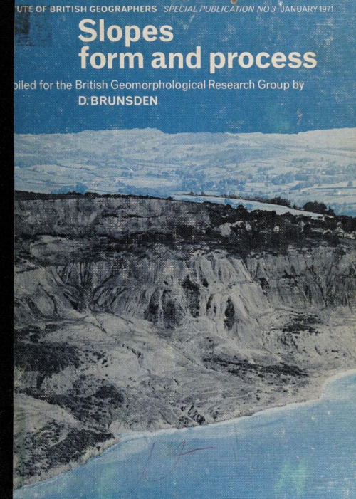
Slope profile analysis: the system of best units by A. young Hillslope process-response models based on the continuity equation by M. J.KIRKBY An application of the concept of threshold slopes to the Laramie Mountains, Wyoming by m. a. carson State, environment and attribute in scree-slope studies by j. в. thornes Micro-erosion processes and factors affecting slope development in the Lower Swansea Valley by e.m. bridges and d.m. harding Slope form and geomorphological process: an Australian example by R.R. ARNETT The role of snow avalanches in the evolution of alpine talus slopes by B.H.LUCKMAN Landsliding on the Jurassic escarpment near Rockingham, Northamptonshire by R.J. CHANDLER Some examples of mudflow and rockfall activity in north-east Ireland by D.B. PRIOR, N. STEPHENS and G.R. DOUGLAS Relationships between slope form and soil properties developed over Chalk parent materials by p.a.furley The relationship between soil patterns and slope form in the Ettrick Association, south-east Scotland by w. a. d. Whitfield and P. A. FURLEY The British Geomorphological Research Group The Institute of British Geographers Publications in print
La acogida que tuvieron el libro Geomorfoiogía Climática (2001) y su traducción al inglés ligeramente ampliada, Climatic Geomorphology (2005), nos ha proporcionado el ánimo necesario para afrontar la redacción de un libro de carácter general más amplio que aborde las diferentes formas del relieve del planeta Tierra y de los procesos responsables de su génesis. El estudio de las morfologías, algunas de ellas generadas en tiempos geológicos pretéritos bajo condiciones ambientales muy diferentes a las actuales, nos permite reconstruir la evolución del relieve e inferir cambios ambientales en los que han podido intervenir el medio geológico, el clima o la actividad humana.
Вопросы изучения природных явлений и одновременно проблема охраны окружающей среды становятся все более актуальными. Настало время выработать правильные критерии природопользования. Эта задача может решаться лишь при высоком уровне изучения природных явлений, в том числе и таких динамичных комплексов, как морские берега, развитие которых протекает при исключительно сложном взаимодействии разнообразных процессов.
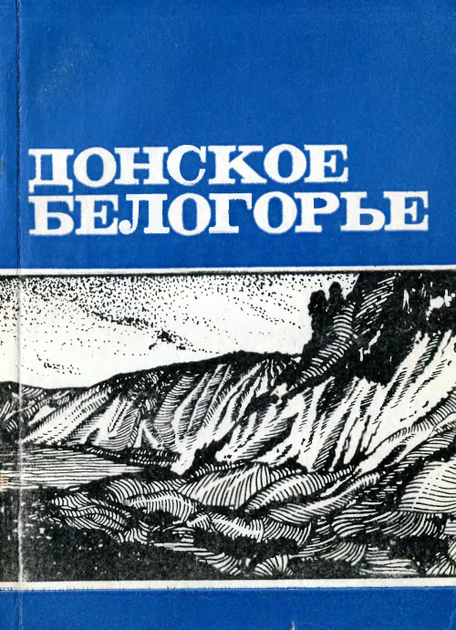
Настоящая монография написана коллективом авторов сотрудников Воронежского университета. В работе рассматриваются физико-географические осооенности меловых ландшафтов на территории юго-запада Воронежской области. Кроме обзора отдельных компонентов природы (геологии, почв, растительности и т. д.) в книге также дается характеристика наиболее распространенных природных комплексов (типов местности, урочищ, склоновых ландшафтов и др.) этого района. Значительное место уделено во просам охфаны природы и ее рациональному использованию. Книга рассчитана на широкий круг читателей — научных работников, учителей, студентов, учащихся старших классов, краеведов и туристов.
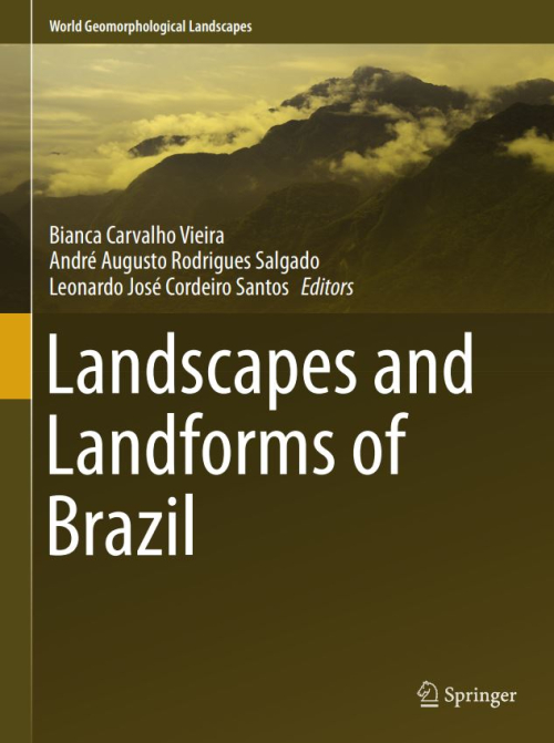
Landforms and landscapes vary enormously across the Earth, from high mountains to endless plains. At a smaller scale, nature often surprises us creating shapes which look improbable. Many physical landscapes are so immensely beautiful that they received the highest possible recognition—they hold the status of World Heritage properties. Apart from often being immensely scenic, landscapes tell stories that not uncommonly can be traced back in time for tens of millions of years and include unique events. In addition, many landscapes owe their appearance and harmony not solely to the natural forces. For centuries, and even millennia, they have been shaped by humans who have modified hillslopes, river courses, and coastlines, and erected structures which often blend with the natural landforms to form inseparable entities. These landscapes are studied by geomorphology—‘the science of scenery’—a part of Earth Sciences that focuses on landforms, their assemblages, surface, and subsurface processes that molded them in the past and that change them today. To show the importance of geomorphology in understanding the landscape, and to present the beauty and diversity of the geomorphological sceneries across the world, we have launched a book series World Geomorphological Landscapes. It aims to be a scientific library of monographs that present and explain physical landscapes, focusing on both representative and uniquely spectacular examples. Each book will contain details on geomorphology of a particular country or a geographically coherent region. This volume presents the geomorphology of Brazil, a big country with a multitude of spectacular landscapes, from the very well known—such as the steep-sided domes of Rio de Janeiro, Iguazu Falls, or majestic rivers of the Amazonian Lowland—to many hidden gems scattered across the Brazilian Shield. For such a vast and varied territory to make a selection of case studies must have been an arduous task, so inevitably they present only a small fraction of what Brazil has to offer in terms of geomorphological sceneries to enjoy. To discover and learn more, go to Brazil! This would be an unforgettable geomorphological experience. The World Geomorphological Landscapes series is produced under the scientific patronage of the International Association of Geomorphologists (IAG)—a society that brings together geomorphologists from all over the world. The IAG was established in 1989 and is an independent scientific association affiliated with the International Geographical Union (IGU) and the International Union of Geological Sciences (IUGS). Among its main aims are to promote geomorphology and to foster dissemination of geomorphological knowledge. I believe that this lavishly illustrated series, which sticks to the scientific rigor, is the most appropriate means to fulfill these aims and to serve the geoscientific community. To this end, my great thanks go to the editors of this volume—Prof. Bianca Carvalho Vieira as the senior editor, and Profs. André Augusto Rodrigues Salgado and Leonardo José Cordeiro Santos as co-editors. <...>
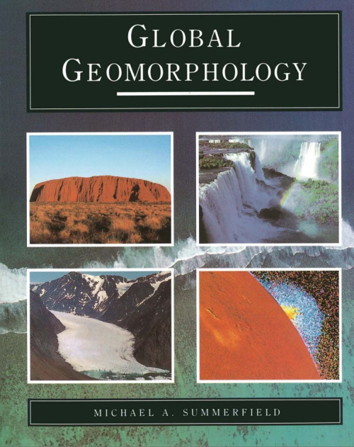
Geomorphology is the science concerned with the form of the landsurface and the processes which create it. It is extended by some to include the study of submarine features, and with the advent of planetary exploration must now incorporate the landscapes of the major solid bodies of the Solar System. One focus for geomorphic research is the relationship between landforms and the processes currently acting on them. But many landforms cannot be fully explained by the nature and intensity of geomophic processes now operating so it is also nec~ssary to consider past events that may have helped shape the landscape. To a significant extent, then, geomorphology is a historical science. Since the landsurface is located at the interface of the Earth's lithosphere, atmosphere, hydrosphere and biosphere, geomorphology is closely related to a wide range of other disciplines (Table 1.1). While having a central interest in landforms, geomorphologists must, none the less, be aware of those aspects of allied disciplines that bear on their subject. Equally, geomorphology has a potential, as yet only partially realized, of making significant contributions to these other areas of knowledge. <...>
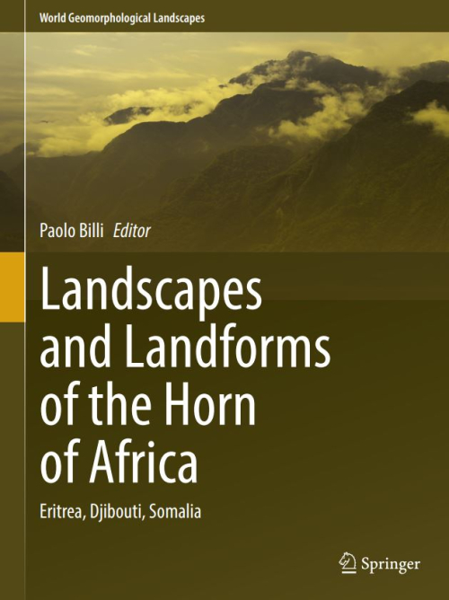
Climate Variability in the Horn of Africa Eastern Countries: Eritrea, Djibouti, Somalia Paolo Billi Geology and Geomorphological Landscapes of Eritrea Ernesto Abbate and Paolo Billi Geomorphology of Afar Jacques Varet Geomorphology of Eritrean River Systems Paolo Billi Pleistocene Landscape Variability Recorded in the Homo-Bearing Dandiero Basin (Eritrea) Massimiliano Ghinassi, Mauro Papini, Lorenzo Rook, Oriol Oms, and Federico Sani Landscape and Landforms of the Samoti Plain, Eritrean Danakil
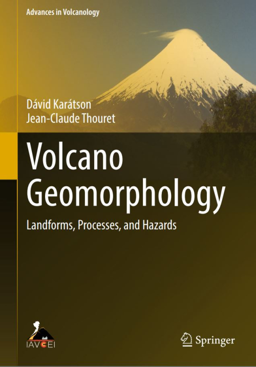
Volcano geomorphology sparks interest across the geoscience disciplines. Volcanoes are one of the most fascinating landforms as their formation operates over an unusual timescale in comparison to other geological processes. Volcanic eruptions can occur as a single explosion, while long lasting lava effusions may take years. These time frames are several magnitudes shorter in comparison to any other geological processes, leaving behind material built into the rock record of Earth.
The word geomorphology derives from three Greek words: γεω (the Earth), μoρφη (form), and λογος (discourse). Geomorphology is therefore ‘a discourse on Earth forms’. The term was coined sometime in the 1870s and 1880s to describe the morphology of the Earth’s surface (e.g. de Margerie 1886, 315), was originally defined as ‘the genetic study of topographic forms’ (McGee 1888, 547), and was used in popular parlance by 1896. Despite the modern acquisition of its name, geomorphology is a venerable discipline (Box 1.1).