Добрый день, Коллеги. Важное сообщение, просьба принять участие. Музей Ферсмана ищет помощь для реставрационных работ в помещении. Подробности по ссылке
Theories of landscape development serve to stimulate communication between the interdependent descriptive, genetic-historical, and process-oriented lines of inquiry in geomorphology, and thereby help to unify them into one science. The theory that has dominated the modern era of geomorphology, which may be said to have begun in 1877 with the publication of G. K. Gilbert’s “Land Sculpture”, was first formulated by W. M. Davis in 1889 and 1899.
The term "soil" has many definitions, depending upon who is using the term. For example, to engineers "soil" is unconsolidated surficial material, whereas to many soil scientists it is mainly the medium for plant growth. A definition of soil that serves our purpose well is a slight modification of that given by Joffe'": a soil is described as a natural body consisting of layers or horizons of mineral and/or organic constituents of variable thicknesses, which differ from the parent material in their morphological, physical, chemical, and mineralogical properties and their biological characteristics; at least some of these properties are pedogenic (Fig. 1-1). Soil horizons generally are unconsolidated, but some contain sufficient amounts of silica, carbonates, or iron oxides to be cemented <...>
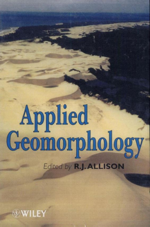
This introduction highlights the practical application of geomorphology and geomorpho-logical hydrology to environmental management through four major themes: ground instability and land management, the effect of land use on the hydrological response of geomorphological systems, geomorphological aspects of environmental impact and risk, and aspects of the modelling and management of geomorphological systems undergoing environmental change. The chapter sets the volume of contributions in the context of changing environments and human impact, and brings attention to the scale problem in geomorphological research. It outlines issues and strategies of land management, and comments briefly on the prospects for “environmental geomorphology”. <...>
Geomorphology has undergone a drastic change in scope and philosophy during the last several decades. In the past, the discipline was primarily concerned with the evolutionary development of landscapes under a wide variety of climatic and geologic controls. More recently, geomorphologists have recognized the need for an applied rather than a historical emphasis. This change in philosophy has placed geomorphology at an interface with many other disciplines. Today’s geomorphologist must relate to problems that face hydrologists, engineers, pedologists, foresters, and many other types of earth scientists. The bond that unites geology and geomorphology with so many apparently diverse disciplines is the common need to understand the processes operating within the Earth’s surficial systems. Thus, although the historical aspect of landscapes remains important, it is absolutely essential for earth scientists to have a basic understanding of surface mechanics and, in addition, of how those process mechanics are reflected in the landforms they create. This edition of Process Geomorphology, like its predecessor, is an attempt to satisfy those needs. The prime purpose of the book remains as it was, to provide undergraduate students with an introductory understanding of process mechanics and how process leads to the genesis of landforms. <...>
This chapter discusses the influence of causal factors for landslide hazard mapping and stability of the prediction results. Among many quantitative models, we consider a model based on the theory of fuzzy sets with the algebraic sum operator. In the model, layers of geoscience maps represent the spatial information used for the prediction of areas in which the geomorphologic setting is similar to the ones in which a particular type of mass movement has taken place.
Land forms and drainage patterns are being studied by more and more elaborate methods all the time. The increasingly accurate methods of measuring land form and geomorphological processes are providing a vast amount of quantitative data. This has to be analysed by numerical methods so that an orderly behaviour may be discerned from amongst the mass of accumulated data. This book sets out to provide an introduction to those numerical methods which we have found to be most useful in the analysis of geomorphological data.
In the preparation of this book I have drawn upon the help of many people and institutions. Many of these have no direct connection with the writing of the book, but without their assistance, which made the necessary field experience possible, this study could not have been written.
Most of the land surface of the earth is formed by valley slopes. At a given point on the ground surface it is normally possible to follow the line of maximum slope downwards until a drainage channel is reached; moreover a causal relation between the slope and the channel is apparent. This feature has been little remarked upon, possibly because it is so widespread as to seem part of the natural order. It is nevertheless a fundamental and remarkable feature of the earth’s surface form. <...>