Добрый день, Коллеги. Важное сообщение, просьба принять участие. Музей Ферсмана ищет помощь для реставрационных работ в помещении. Подробности по ссылке
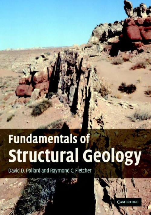
Fundamentals of Structural Geology provides a new framework for the investigation of geological structures by integrating field mapping and mechanical analysis. It emphasizes the observational data, modern mapping technology, principles of continuum mechanics, and the mathematical and computational skills, necessary to map, describe, model, and explain deformation in the Earth’s lithosphere quantitatively.
After a general introduction to folding this session considers what special terms are required to describe the geometric features of folds: first those terms necessary to define features of a single folded surface, then those which describe the geometric relationships of adjacent folded layers. Special techniques to describe curvature variations based on harmonic—or Fourier—analyses are recommended and it is shown how this type of analysis is practical both for general descriptive purposes as well as for very exact analysis. The relationships of small wavelength folds in polyharmonic folds are described and practical ways of recording changing fold symmetry discussed.
General Statement. The aim of this book is to discuss the processes that operate during the deformation and metamorphismof rocks in the crust and upper lithosphere of the Earth with the goal of understanding how these processes control or influence the structures that we observe in the field.
Our purpose in writing this textbook, now updated to a third-edition view of the world, is to communicate the physical and geometric elegance of geologic structures within the Earth’s crust, and to describe the ways in which they reflect the nature and origin of crustal deformation through time (Figure 1.1). Geologic structures provide part of the basis for recognizing and reconstructing the profound changes that have marked the physical evolution of the Earth’s outermost layers, as observed from the scale of the plates down to the microscopic. Understanding the nature and extensiveness of geologic structures of deformational origin in the Earth’s crust has both scientific and practical benefit. But there is a philosophical value as well. <...>
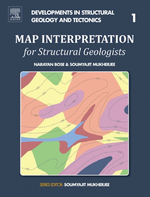
In geological maps, the undulation of the topography is represented by height contours. These contours represent lines along which all the points have the same altitude. Height contours are represented usually by broken lines and the numbers attached to them indicate the altitude of the corresponding contour.
This textbook is written to introduce undergraduate students, and others with a general geologic background, to basic principles, aspects and methods of structural geology. It is mainly concerned with the structural geology of the crust, although the processes and structuresdescribed are relevant also for deformation that occurs at deeper levels within our planet. Further, remote data from Mars and other planets indicate that many aspects of terrestrial structural geology are relevant also beyond our own planet.
Many textbooks describe information and theories about the Earth without training students to utilize real data to answer basic geological questions. This volume – a combination of text and lab book – presents an entirely different approach to structural geology. Designed for undergraduate laboratory classes, it is dedicated to helping students solve many of the geometrical problems that arise from field observations.
В книге изложены методы решения задач по структурной и полевой геологии (геологическому картированию), которые приходится решать гео логу при проведении съемочных, геолого-поиско-вых, аэрогеологических в других работ, предпринимаемых при поисках месторождений полезных ископаемых и, в частности, нефтяных и газовых залежей. Примеры решении задач дают возможность освоить методы обработки геологических материалов и способы изображения их па картах, профилях, блок-диаграммах и структурных схемах. Книга является практическим руководством для инженерно-технических работников, занимающихся геолого-съемочными в поисково-рааведоч-ными работами и учащихся нефтяных техникумов
Таблицы позволяют решать весьма часто встречающиеся задачи научного и прикладного характера по установлению линии пересечения или сопряжения двух плоскостей, имеющих различную ориентировку в пространстве. В геологии это самые многочисленные задачи по установлению пространственного положения рудных столбов, осей перегибов извилистых поверхностей рудоносных разломов и трещин (обусловливающих положение раздувов и пережимов тел н закономерности их размещения, лентовидных залежей, раздвиговых и других структур между ограничивающими их разломами), сочленения или пересечения разломов, трещин и приуроченных к ним магматических и гидротермальных образований, а также положения осей складок и их ундуляций.