Добрый день, Коллеги. Важное сообщение, просьба принять участие. Музей Ферсмана ищет помощь для реставрационных работ в помещении. Подробности по ссылке
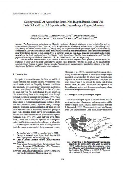
Mongolia is situated between the Siberian and North China platforms and includes several Precambrian continentalblocks, which are fringed by Paleozoic and Mesozoic magmatic arcs, accretionary complexes and trapped oceanic crusts (Sengör et al., 1993). A number of porphyry, skarn and vein-type hydrothermal deposits have been discovered along these extinct magmatic arcs through regional geological mapping (Jargalsaihan, 1996). Thesedeposits form several metallogenic belts, which are genetically related to regional magmatism and tectonics (Distanov and Obolenskii, 1994; Dejidmaa, 1996). Although geology, alteration and mineralization of these deposits
have been described in explanatory reports of geological maps (e.g., Zabotkin, 1988), only a few geochronological studies have been undertaken for hydrothermal deposits (Sotnikov et al., 1974, 1995; Lamb and Cox, 1998; Muraoet al., 1998). The scarcity of age data for ore deposits makes it difficult to comprehend metallogeny in Mongolia. The Geological Research Center of Mongolia conducted a comprehensive project that re-examined geology (Teraoka et al., 1996), magmatism (Takahashi et al., 1998) and mineral deposits in the Bayankhongor region in central Mongolia (Fig. 1), where many hydrothermal deposits are associated with granitoids. This paper presents geology and K-Ar ages of the South, Huh Bulgiin Hundii, Saran Uul, Taats Gol and Han Uul deposits in the Bayankhongor region, and discusses metallogeny related to Paleozoic magmatism in the region.
Geology has evolved greatly since I wrote the Manual of Field Geology in the 1950s. Advances in theory have transformed the formation mapping of that time into increasingly broader and more interpretive studies.
Geology of Australian and Papua New Guinean Mineral Deposits heralds a new era in the publication of The AusIMM Monograph Series. The new methodology involves a small Committee, including a Project Coordinator. It has proved most effective and economical.
The Monograph 22 Committee was established early in 1996, under the direction of Sandra Close, (Chairman of The AusIMM Publications Committee) with the Joint Editors, The AusIMM Publications Manager and the Project Coordinator. Overall parameters and criteria for papers were determined and a detailed Guide to Authors and Standard Operating Procedures were developed, to ensure a streamlined process. Over 300 companies were then invited to submit papers if their deposits met the criteria. The invitation was repeated in The AusIMM Bulletin and The Australian Geologist, to ensure that the volume’s coverage was comprehensive.
This is a book on the geology of hydrocarbon reservoirs in carbonate rocks. Although it is written for petroleum geologists, geophysicists, and engineers, it can be useful as a reference for hydrogeologists and environmental geologists because reservoirs and aquifers differ only in the fl uids they contain. Environmental geoscientists interested in contaminant transport or hazardous waste disposal also need to know about porosity (capacity to store) and permeability (capacity to fl ow) of subsurface formations.
This chapter describes the regional geographical and geological setting of Connemara. The geology and the spatial distribution of Connemara’s metamorphic and igneous rocks are outlined. The Connemara Metamorphic Complex (CMC) comprises two major rock groupings: the Dalradian metamorphosed sedimentary and igneous rocks and the younger Metagabbro Gneiss Suite. South of Clifden in western Connemara a semi-circular area some 5 km across occurs within the Metagabbro Gneiss Suite and is called the Delaney Dome.
Geology came to occupy the pride of place in the country following Independence and rapid industrialization based on Five Year Plans of the Nehru era. Geological Survey of India, the premier earth science organization in the country, was considerably expanded and decentralized to the various States of India. National Research Institutes like the NGRI, PRL, CESS, WIHG, BSIP etc. were encouraged to develop rapidly, and the Universities urged to become centers of excellence.
A phenomenal growth has been achieved in our understanding of the Geology of India since India's Independence through the efforts of the Geological Survey of India and several other State Surveys, exploration agencies, research organizations, universities, institutes and scientific societies. Many of our earlier concepts of geology in relation to structure and tectonics, stratigraphy and sedimentation, magmatism and metamorphism, and metallogeny and mineral deposits have undergone drastic changes with larger inflow of data, synchronising with the evolving global concepts of earth processes.
The earlier, mostly non-geological, exploration reports of Borneo have been listed by Worth (1940). The first reliable geological observations on Sabah were by Hatton (1885), a young mineral explorer employed by the Chartered Company of North Borneo. He met a tragic death while hunting along the Segama River. The most significant publication was that of Posewitz (1892), who summarized the earlier writings of geologists who had journeyed through Borneo. Although, he never set foot in Sarawak or Sabah, but had journeyed through Kalimantan. He collected the literature and compiled a geological map of the known parts of Bomeo. The work was unsystematic and is now obsolete. Rutter (1922) described the journeys of some mineral prospectors in his account of Sabah, but he did not mention the real geological explorers. <...>
For several decades a team of specialists from the field of paleontology has been acting in the Geological Institute. The team has gathered rich material of fossil fauna and flora from drillings and outcrops in several parts of the country (Polish Lowlands, Silesian-Cracow Upland, the Gory Swietokrzyskie Mts and the Carpathians).
Analythical results of studies of the above team of the Geological Institute, especially those obtained in the course of paleontological and biostratigraphic expertises, have as far as possible been published, contributing to the Polish and world biostratigraphic literature. This made it necessary for the Geological Institute, the oldest and biggest centre of geological sciences in the country, to undertake works aimed at gathering museum collections and synthetize most important biostratigraphic information dispersed in various sources.
Works on monograph Atlas skamienialosci przewodnich i chardktery sty cznych, the third volume of Budowa Geologiczna Polski and the first position of that type compiled in our country, were initiated in 1971. The team of researchers of the Geological Institute and the invited specialists from other research centres in the country which took part in that project has been led by Doc. Dr. Lidia Ma-linowska (Head of Laboratory of Paleozoology of Department of Stratigraphy, Tectonics and Paleogeography, Geological Institute) as the General Editor. Thanks to the deep concern of the General Editor, section editors, authors and editorial teams of the Department of Publications, Maps and Text (Geological Institute) and the Publishing House Wydawnictwa Geologiczne, it became possible to publish first of Mesozoic parts of Polish version of the monograph as early as 1979.
Presenting Mesozoic part of the monograph to the foreign Reader, the Geological Institute dedicates this publication unique in Polish geological literature to our paleontologists such as J. B. Pusch-Korenski, J. Siemiradzki, L. Zej-szner, M. Raciborski and others who laid foundations for major achievements of Polish biostratigraphy
This volume, "The Geology of the Arab ian Peninsula," is a logical consequence of the geographic and geologic mapping project of the Arab ian Peninsula, a cooperative venture between the Kingdom of Saudi Arabia and the Government of the United States. The Arabian-American Oil Co. and the U.S. Geological Survey did the fieldwork within the Kingdom of Saudi Arabia, and, with the approval of the governments of neighboring countries, a number of other oil companies contributed additional mapping to complete the coverage of the whole of the Arabian Peninsula. So far as we are aware, this is a unique experiment in geological cooperation among several governments, petroleum companies, and individuals. <...>