Добрый день, Коллеги. Важное сообщение, просьба принять участие. Музей Ферсмана ищет помощь для реставрационных работ в помещении. Подробности по ссылке
The production of Cu-Zn from volcanogenic massive sulfide (VMS) deposits in the eastern Pontides began in the early 1900s, with the exploitation of high-grade ores scattered across the district. The district still possesses economically important blind VMS and associated sulfide deposits. Careful descriptive documentation of the typical features of these VMS ores illustrated the geological characteristics that are important in identifying ore localities and can be used to define exploration targets.
The National Public Reporting of Exploration Results, Mineral Resources and Mineral Reserves Code of Türkiye (the UMREK Code) designates the minimum standards, recommendations, legal requirements and practice principles for reporting Exploration Targets, Exploration Results, Mineral Resources and Mineral Reserves within the Republic of Türkiye with the purpose of adequately informing investors and other stakeholders. This Code is related to the public reporting related to Exploration Results, Mineral Resources and Mineral Reserves required by BİST, BDDK and SPK (see the list of acronyms in Appendix 12).
Tethyan evolution STAMPFLI, G. M. Tethyan oceans 1 OKAY, A. 1. Was the Late Triassic orogeny in Turkey caused by the collision of an oceanic plateau? ROBERTSON, A. H. F. & PICKETT, E. A. Palaezoic-Early Tertiary Tethyan evolution of melanges, rift and passive margin units in the Karaburun Peninsula (western Turkey) and Chios Island (Greece) ALTINER, D., OZCAN-ALTINER, S. & KogYicfr, A. Late Permian foraminiferal biofacies belts in Turkey: palaeogeographic and tectonic implications
ROBERTSON, A. H. F. Mesozoic-Tertiary tectonic-sedimentary evolution of a south Tethyan oceanic basin and its margins in southern Turkey
The Middle Miocene Orduzu volcanic suite, which is a part of the widespread Neogene Yamadag˘ volcanism of Eastern Anatolia, consists of a rhyolitic lava flow, rhyolitic dykes, a trachyandesitic lava flow and basaltic trachyandesitic dykes. Existence of mafic enclaves and globules in some of the volcanic rocks, and microtextures in phenocrysts indicate that magma mingling and mixing between andesitic and basaltic melts played an important role in the evolution of the volcanic suite. Major and trace element characteristics of the volcanic rocks are similar to those formed in convergent margin settings.
Today’s Turkey occupies an important geopolitical location: the junction of Europe and Asia. Geographically, Turkey is composed of Anatolia (the so-called Asia Minor) and Thrace, an eastern section of Europe. The Sea of Marmara, which is an inland sea, together with the Dardanelles and the Bosphorus separates Anatolia from Thrace and, at the same time, Asia from Europe. Being surrounded on three sides – by the Mediterranean Sea to the south, the Aegean Sea to the west and the Black Sea to the north – Turkey offers the characteristics of a peninsula. Turkey is one of the charter members of the Organisation for Economic Co-operation and Development (OECD) and G20 (the Group of 20) where the world’s leading industrialised and developing countries meet to gather and discuss international affairs. The Customs Union Agreement between Turkey and the European Union plays a significant role in the development of the foreign tradecapability of the country. Construction, automotive, electronics, banking, textiles, petrochemistry, food, mining, agriculture and machinery industries are currently the leading sectors of Turkey’s economy <...>
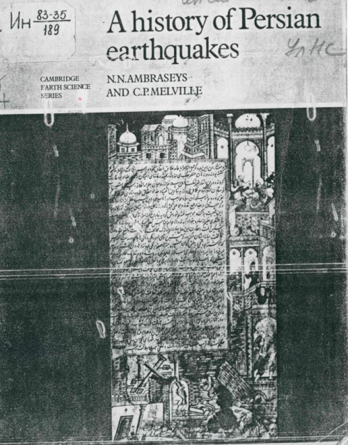
Oui choice of title for this book deliberately echoes Dseison’s A Hillary ofBritiih Earthquake!, which was published by the Cambridge University Press early in the 1920s. This was one of the first in recent tiroes to make a systematic study of seismic activity in a particular country, which we have tried to emulate for Iran. By calling our study a history we wish also to emphasise the importance оf time in the unfolding of geologic processes, and of investigating the past when attempting to under-&tand the present.
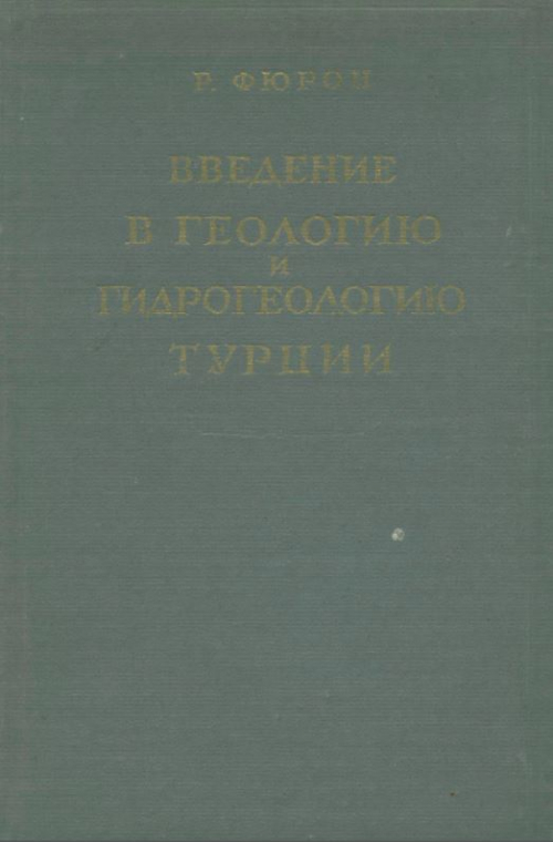
Небольшая по объему книга французского геолога Раймонда Фюрона позволит советскому читателю познакомиться с основными чертами геологии и гидрогеологии Турции, а также с особенностями ее рельефа, климата, речной сети и физико-географическими элементами.