Добрый день, Коллеги. Важное сообщение, просьба принять участие. Музей Ферсмана ищет помощь для реставрационных работ в помещении. Подробности по ссылке
This book presents geostatistical tools for building numerical geological models of petroleum reservoirs. The use of geostatistical tools for modeling reservoir heterogeneities and assessing uncertainty in reservoir forecasting has increased significantly since the 1990s. There are many technical papers that track this growth in theory and applications; however, few collected works exist to bring together the practice of petroleum geostatistics into a coherent framework.
Оценка минеральных ресурсов структурно-сложных и прерывающейся минерализации с применением нелинейной геостатистики: на примере изучения мезотермального золотого оруденения Северной Канады
An estimation of resources of structurally complex gold lodes and stockworks represents a challenging task for geoscientists due to the complex geometry of the lodes and discontinuous grade. In the present case study, the resource of a gold stockwork has been estimated by uniform conditioning after the lode has been subdivided into geostatistically defined domains using the indicator probability model.
In this introduction, we would like to highlight what appear to be the important landmarks in the history of geostatistical applications in the petroleum industry. What do we mean by “geostatistics?" In this course, this term will cover the petroleum applications resulting from the pioneering work of Prof. Georges Matheron and his Research Group at the Centre de Geostatistique de THcole des Mines de Paris. As far as this course is concerned, the main pillars of this work are the developments of variogram-based modeling applications.
The fourth edition of the European Conference on Geostatistics for Environmental Applications (geoENV IV) took place in Barcelona, November 27-29, 2002. As a proof that there is an increasing interest in environmental issues in the geostatistical community, the conference attracted over 100 participants, mostly Europeans (up to 10 European countries were represented), but also from other countries in the world. Only 46 contributions, selected out of around 100 submitted papers, were invited to be presented orally during the conference. Additionally 30 authors were invited to present their work in poster format during a special session.
This book grew out of class notes for a course that served two purposes: 1. To familiarize graduate students in hydrogeology and environmental engineering with some practical methods for solving interpolation and related estimation problems. The course emphasized geostatistical methods. 2. To illustrate how one may use data to develop empirical models, that is, to provide an introduction to applied statistical modeling.
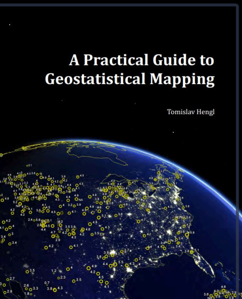
This guide evolved from the materials that I have gathered over the years, mainly as lecture notes used for the 5–day training course GEOSTAT. This means that, in order to understand the structure of this book, it is important that you understand how the course evolved and how did the students respond to this process. The GEOSTAT training course was originally designed as a three–week block module with a balanced combination of theoretical lessons, hands on software training and self-study exercises.
Горная геология является специализированной областью прикладных геологических наук, которая исторически развивалась как поддержка эксплуатации рудников и оценки горных проектов. Основной задачей горной геологии является предоставление подробной геологической информации, а также проведение техникоэкономических исследований для оценки проекта горных работ. Когда начинается добыча, горные геологи обеспечивают геологическое сопровождение работы, обеспечивая экономически эффективную добычу ценных минералов и их точное отделение от пустых пород.
Subsurface fluid flow is critically dependent on the 3D distribution of petrophysical properties in rocks. In sequences of sedimentary rocks these properties are strongly influenced by lithology and facies distribution that stem from the geologic processes that generated them.
The natural resources on the earth seem to be randomly distributed but their variations over space and time are not all random. They exhibit a spatial correlation. This spatial correlation can be captured by geostatistics. Geostatistics deals with the analysis and modelling of geo-referenced data. The point observations are analyzed and interpolated to create spatial maps. For geostatistical interpolation, first the spatial correlation structures of the parameter of interest are quantified and then spatial interpolation is done using the quantified spatial correlation and optimal predictions at unobserved locations to create a map.