Добрый день, Коллеги. Важное сообщение, просьба принять участие. Музей Ферсмана ищет помощь для реставрационных работ в помещении. Подробности по ссылке
В руководстве содержится описание солевого, бактериального и газового состава подземных вод, методика отбора проб воды, газа и пород для различных видов анализа. Излагаются методы полного химического анализа воды, причем для удобства пользования книгой в текст ее включены теоретические сведения, объясняющие сущность изложенных методов. Заключительные разделы книги посвящены способам обработки данных различных анализов и составлению гидрохимических карт. Книга предназначается для студентов геологических факультетов университетов, горных институтов, а также может быть использована инженерно-техническими работниками, деятельность которых связана с изучением общих вопросов, гидрогеологии и гидрохимии.
Дается краткая характеристика особых условий строительства в карстовых районах. Рекомендуется оценивать устойчивость территорий и производить расчеты зданий и сооружений по данным о среднегодовом количестве провалов, приходящихся на единицу площади, и графикам распределения провалов по их величине. Рассматриваются особенности составления схем районной планировки, генеральных планов городов и проектов детальной планировки. Даются рекомендации по определению характера застройки территорий в зависимости от их устойчивости и излагаются основные требования к жилищному и гражданскому строительству в карстовых районах. Приводятся рекомендации по выбору конструктивных схем и реиений промышленных зданий и сооружений. В приложениях дается обоснование рекомендуемого характера застройки территорий и излагается метод расчета ленточных фундаментов как одного из рекомендуемых средств защиты от карстовых провалов ограниченного размера. Рекомендации предназначены для инженерно-технических работников проектных и изыскательских организаций.
Coring is the removal of sample formation material from a wellbore. To the extent possible, core samples are taken in an undamaged, physically unaltered state. The formation material may be solid rock, friable rock, conglomerates, unconsolidated sands, coal, shales, gumbos, or clays. Coring can be conducted by various methods with a variety of tools.
Both crude oil and natural gas occur naturally in subsurface deposits. Crude oil is a black liquid that is sold to refineries to be refined into products such as gasoline and lubricating oil. Natural gas is a colorless, odorless gas that is sold to gas pipelines to be transported and burned for its heat content. There are many different types of crude oils and natural gases, some more valuable than others. Heavy crude oils are very thick and viscous and are difficult or impossible to produce.
Both crude oil and natural gas are mixtures of molecules formed by carcarbon and hydrogen atoms. There are many different types of crude oils and natural gases, some more valuable than others. Heavy crude oils are very thick and viscous and are difficult or impossible to produce, whereas light crude oils are very fluid and relatively easy to produce. Less valuable are sour crude oils that contain sulfur and sour natural gasses that contain hydrogen sulfide. Some natural gases burn with more heat than others, contain natu- natural gas liquids and gasoline, and are more valuable.
Geomaterials are defined as ‘processed or unprocessed soils, rocks or minerals used in the construction of buildings or structures, including man-made construction materials manufactured from soils, rocks or minerals’ (Fookes, 1991). The definition deliberately includes manmade materials such as bricks or cement but excludes allied engineering materials whose manufacturing is more extensive, such as steel and synthetic paints.
Shelley's lines paint a picture of a lost world, a world resurrected from the antiquities of Greek mythology. But Shelley had more than ancient legends to go on; he was acutely aware of the discoveries of great extinct beasts from the writings of contemporary naturalists. It is known that Shelley attended lectures on mineralogy at Oxford and possessed a library of scientific works which included the writings of Newton, Laplace, Herschel, Davy and Erasmus Darwin. By 1812 he was familiar with James Parkinson's Organic remains published in three volumes between 1804 and 1811.
Задача данного руководства — рассмотреть, каким образом Управление геологоразведки ТНК-ВР осуществляет планирование, контроль и реализацию геологоразведочных проектов. Данное руководство содержит описание рекомендуемых методов работы и технических требований по каждому этапу поисково-разведочных работ. Вместе с тем, его нельзя рассматривать в качестве подробной инструкции. Для получения более конкретной информации сотруднику необходимо посетить специальные курсы в рамках корпоративной программы технического обучения ТНК-ВР. Кроме того, разобраться в специальных областях могут помочь штатные эксперты и приглашенные консультанты. <...>
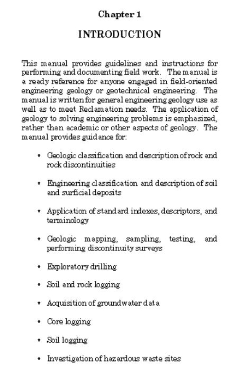
This manual provides guidelines and instructions for performing and documenting field work. The manual is a ready reference for anyone engaged in field-oriented engineering geology or geotechnical engineering. The manual is written for general engineering geology use as well as to meet Reclamation needs. The application of geology to solving engineering problems is emphasized, rather than academic or other aspects of geology <...>