Добрый день, Коллеги. Важное сообщение, просьба принять участие. Музей Ферсмана ищет помощь для реставрационных работ в помещении. Подробности по ссылке
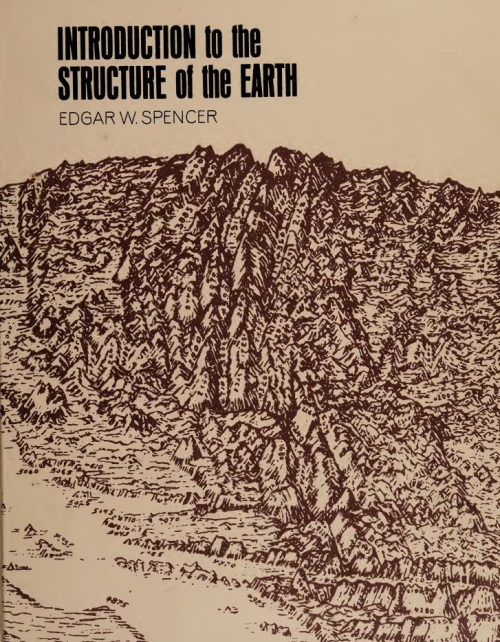
“Structural geology is the study of the structural (as opposed to compositional) features of rocks, of the geographic distribution of the features and their causes. A structural feature is one produced in rock by movements after deposition and commonly after consolidation of the rock.”# These definitions are drawn independently of the size of the structural features considered, and the range of sizes involved is great.
A fracture model for quartz ribbons in straight gneisses Origin and incremental evolution of brittle/ductile shear zones in granitic rocks: natural examples from the Southern Abitibi Belt, Canada Stretching lineations in transpressional shear zones: an example from the Sierra Nevada Batholith, California Shear zones as a result of intraplate tectonics in oceanic crust: the example of the Basal Complex of Fuerteventura (Canary Islands) Significance of crustal-scale shear zones and synkinematic mafic dykes in the Nagssugtoqidian orogen, SW Greenland: a re-examination Evidence for synchronous thin-skinned and basement deformation in the Cordilleran fold-thrust belt: the Tendoy Mountains, southwestern Montana The effect of cover composition on extensional faulting above re-activated basement faults: results from analogue modelling A note comparing parameters controlling low-angle normal and thrust movement
This book introduces the principles of structural geology for undergraduate students of geology. It also provides the basic knowledge of structural geology needed for professionals in related disciplines of science and engineering, and is designed to be equally suitable as a text for classroom instruction and for self study. Prior knowledge of elementary geology, physics, and algebra is assumed. This book succeeds my earlier Structural Geology (Ronald Press 1972, later John Wiley & Sons),
Broadly interrelated assemblages of geologic structures constitute the fundamental structural styles of petroleum provinces. These assemblages generally are repeated in regions of similar deformation, and their associated hydrocarbon traps can be anticipated prior to exploration. Styles are differentiated on the basis of basement involvement or detachment of sedimentary cover. Basement-involved styles include wrench-fault structural assemblages, compressive fault blocks and basement thrusts, extensional fault blocks, and warps. Detached styles are decollement thrust-fold assemblages, detached normal faults (‘growth faults’’ and others), salt structures, and shale structures.
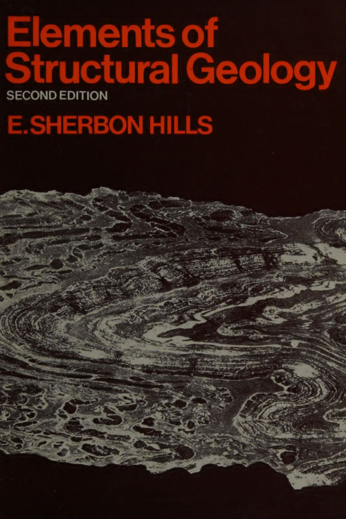
In the preparation of this new edition I have followed the general policy adopted in the previous editions. As before, the emphasis has been placed on the principles of structural geology. Some consideration was given to the inclusion of several chapters on regional structure and the fascinating subject of mountain ranges and continents. But to treat these * subjects adequately would take so many pages that the book would either be greatly lengthened or some of the fundamental principles would be less fully treated.
The usual problem of proper balance has arisen. A definition of the _ exact limits of structural geology is an academic question of little practical importance. Nevertheless, an author must make arbitrary decisions on this matter. He must decide, for example, which subjects lie within the fields of stratigraphy and sedimentation and which are primarily the concern of the structural geologist. I suggest that the origin of those features related to the processes of sedimentation are not part of structural geology. Thus the origins of bedding and of primary structures (ripple marks, cross-bedding, etc.) are the concern of the sedimentationist. The structural geologist, however, is interested in these features as tools for working out the major structure or as features that may be confused with tectonic structures. <...>
Structural and Tectonic Principles, by Peter Badgley of the Scientific Staff of the National Aeronautics and Space Administration, is another volume in the Harper&Row Geoscience Series that is marked by a number of innovations, chief of which is the synthesis of the study of structural geology and tectonics in a single text. As Dr. Badgley suggests, structural geology in the strict sense probably should be limited to the study of such structures as anticlines, thrust faults, lineation, and the like, as they occur within a tectonic entity. Tectonics, on the other hand, probably should be considered to include investigations of the form pattern, and evolution of largescale units of the earth’s crust, such as basins, folded belts, forelands, and continental shelves—in short, the globe’s major features. American authors, such as Billings, Leith, Nevin, and Willis, have written well-known undergraduate texts that deal mainly with structural geology in the somewhat limited sense. Geologists with an Old World educational background, such as Beloussov, Umbgrove, and Bucher, have written more advanced-level texts that deal mainly with tectonics as herein defined. <...>
The special province of structural geology among the branches of geological science lies in the recognition, representation, and genetic interpretation of rock-structures. Without for the moment defining precisely what is meant by rock-structures, let us consider any geological cross-section showing beds in various attitudes — flat-lying or inclined, folded or faulted — perhaps in places intruded by igneous rocks or covered with lava-flows, and again in places metamorphosed. Such a section shows the shape and attitude of the various rock-units present, and is said to represent the geological structure of that part of the earth, in the plane of the section.
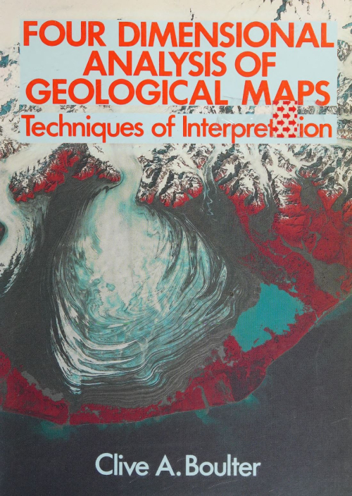
By the end of this book students should be well grounded in the basic techniques of geological map analysis. This is primarily an exercise in 3-D geometry coupled with a need to appreciate the time element which is central to the study of geology. Geology is emphatically four-dimensional! The level of the text is introductory, targeted at first-year university students, though it may be of use to those in the last year or so of secondary education and should be a useful reference work throughout an undergraduate course.
In the Preface to the first edition of this book, published in 1983, I explained my reasons for writing the book as follows.
There are already a number of excellent books covering the various aspects of Structural Geology. Among these are works by Hobbs, Means and Williams, Jaeger and Cook, Price, Ramsay, and Turner and Weiss, all of which I have used extensively in preparing this book and have listed therein as further reading. However, these textbooks are rather advanced for many students commencing the study of geology, and for many years I have been aware of the lack of a suitable elementary book which I could recommend to beginners. My purpose in writing this book, therefore, was to supplement existing textbooks by providing an introduction to the subject which will convey enough information over the whole field of structural geology to stimulate the reader’s interest and encourage further study of more advanced textbooks and scientific papers.’
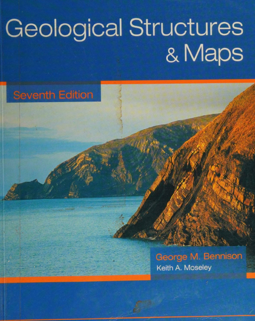
This new edition, the 7th, takes note of trends in syllabuses on geological structures and associated problem maps, particularly the move to take less account of the use of structure contours in understanding maps and solving structural problems. There are now two chapters on Map solution without structure contours, the first with simpler maps means that this topic has been introduced at an earlier stage in the book. The second introduces more difficult maps and there are, in these two chapters, three new additional maps. The use of structure contours is not diminished in this edition — the chapter explaining the construction of structure contours is retained with minor additions — as are the maps in the chapter on Economic problems which, reflecting the real world, rely heavily on structure contours for their solution. The other most obvious addition, is that of 16 photographs to illustrate geological features as they are introduced. There are a number of minor additions to the text. In respnse to many requests over the years, this edition now contains completed sections of every map (where a section was required) in addition to the two given in the 6th Edition. Solutions to the maps in Chapters 2 and 11 are also included in the appendix. I would like to express may thanks to my coauthor for his contribution, particularly his photographs, and to former colleagues for all their help in the past in providing the foundation on which this present edition is based. <...>