Добрый день, Коллеги. Важное сообщение, просьба принять участие. Музей Ферсмана ищет помощь для реставрационных работ в помещении. Подробности по ссылке
The Australasian Code for Reporting of Mineral Resources and Ore Reserves (the ‘JORC Code’ or ‘the Code’) sets out minimum standards, recommendations and guidelines for Public Reporting of exploration results, Mineral Resources and Ore Reserves in Australasia. It has been drawn up by the Joint Ore Reserves Committee of The Australasian Institute of Mining and Metallurgy, the Australian Institute of Geoscientists and the Minerals Council of Australia. The Joint Ore Reserves Committee was established in 1971 and published a number of reports which made recommendations on the classification and Public Reporting of Ore Reserves prior to the first release of the JORC Code in 1989. <...>
Australian Landscapes is at least the third edited volume to be devoted to Australian geomorphology in the last half-century, two others being Landform Studies from Australia and New Guinea (Jennings & Mabbutt 1967) and Landform Evolution in Australasia (Davies & Williams 1978). There is a strong thread running between those two volumes and this one: the second volume marked the retirement of Joe Jennings, who was one of the editors of the first volume, and this volume honours one of the editors of the second, Martin Williams, along with John Chappell; both John and Martin retired recently. The legacy of Joe Jennings, who supervised the PhD research of both Martin and John, is summarized briefly in an Appendix to this Introduction. The fact that we, the editors of this current volume, were supervised in our PhD research by John (B.P.) and Martin (P.B.) continues that intertwining of threads.
Австралийские протерозойские месторождения железо-оксид-медь-золотых м-й: обзор с новыми металлогеническими и геологоразведочными данными из района Клонкарри, Северо-Западный Квинсленд.
Enigmatic hydrothermal vein/breccia/replacement Cu-Au deposits with magnetite and/or hematite are well-represented in Australian 1850 Ma to 1500 Ma terrains and associated with different-aged synorogenic intrusions in the Tennant Creek Block (ca. 1850 Ma); the Gawler-Curnamona region (1640 Ma to 1590 Ma); and the Cloncurry district (Mount Isa Eastern Fold Belt, 1540 Ma to 1500 Ma with a possible earlier event at ca. 1600 Ma). No deposits are known to be coeval with various 1780 Ma to 1610 Ma anorogenic intrusions. Deposits are hosted by many different rock-types with varying metamorphic grade including granites and various supracrustal rocks. Depth of mineralization varied from many kilometers in semiductile crust (e.g., Cloncurry deposits) to very shallow (e.g., Olympic Dam).
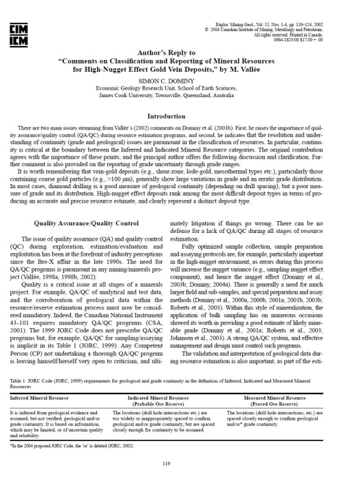
There are two main issues stemming from Vallée’s (2002) comments on Dominy et al. (2001b). First, he raises the importance of quality assurance/quality control (QA/QC) during resource estimation programs, and second, he indicates that the resolution and understanding of continuity (grade and geological) issues are paramount in the classification of resources. In particular, continuity is critical at the boundary between the Inferred and Indicated Mineral Resource categories.
Currently, a geologist should manually fill an electronic table while he describes rocks or scratch a description on a blanket. This takes a lot of time and effort. Lots of researchers have developed their approach to autonomous rock classification. Unfortunately, all of them are based on a core column investigation. Most used a traditional approach to image classification based on a statistical analysis of images and machine learning techniques. Modern deep learning techniques were applied to classify and segment core images in this work. An important note is that previous works cover only core column examination, while this paper presents an approach to extract core columns from a core box. Thus, a geologist should not spend time on a manual description of the core or extraction of separate images out of a core box. This can be done by applying the developed algorithms described in this work. The algorithms were also included in a system which became worldwide available software.
The design of pushbacks in an open pit mine has a significant impact on the mine’s profitability. Automatic generation of practical pushbacks is a highly desirable feature, but current automatic solutions fail to sufficiently account for complex geometric requirements of pushbacks, including slopes, phase bench and bottom width, smoothness, and continuity. In this paper, we present a tool to fill this gap. Our proposed algorithm is based on modification of sets of blocks obtained by parametric optimization of the pit using a maximum flow method.
This volume has its genesis in the “Backbone of the Americas: Patagonia to Alaska” conference that took place in the city of Mendoza, Argentina, from 2 to 7 April 2006. The conference was convened by the Asociación Geológica Argentina and the Geological Society of America in collaboration with the Sociedad Geológica de Chile and was the fi rst meeting on this scale to be jointly convened by North and South American geologic societies. Some 400 participants from 20 countries along the western margins of the Americas and elsewhere participated. The purpose of the meeting was to explore common scientifi c themes affecting the evolution of the Cordilleras of the Americas from a multidisciplinary international perspective. Major themes included collision of active and aseismic oceanic ridges, shallowing and steepening subduction zones, plateau and orogenic uplift, and terrane collision. This volume presents a selection of papers by the invited plenary speakers and other represenative presentations of the symposium <...>
During the past two to three decades, the scanning electron microscope (SEM) has become established as an essential tool in the study of sedimentary rocks, sediments, and soils. It provides a useful complement to the traditional role of the petrographic microscope, which became popular after the pioneering work of Henry Clifton Sorby in the second half of the nineteenth century (Sorby, 1877a,b, 1878).
The origins of balanced sections lie in the petroleum industry in the 1950's and 19601s, most obviously in Calgary, Canada. The first published balanced sections are those by Bally, Gordy and Stewart 119661 of the Canadian Rockies. The concepts of thrust-terrain structural styles, upon which they are based, have been developing since Peach and Horne's [I9071 classic work on the Moine thrust zone in Scotland. To begin, how can we define a "balanced" section?