Добрый день, Коллеги. Важное сообщение, просьба принять участие. Музей Ферсмана ищет помощь для реставрационных работ в помещении. Подробности по ссылке
Разработка Савинского магнезитового месторождения с переработкой магнезитовых руд во вращающихся и шахтных печах Восточно-Сибирского огнеупорного завода (ВСОЗ) с получением высококачественных периклазовых порошков и каустического магнезита для предприятий металлургической промышленности, стройиндустрии и удобрений для сельского хозяйства. <...>
Приведена оценка рудоносности Саяно-Енисейской зоны разломов, разграничивающих разновозрастные горсто-грабеновые блоки и надвиговые пластины Восточного Саяна и Енисейского кряжа. Обоснована перспективность зоны на поиски место-рождений железа, титана, ванадия, золота, платиноидов, урана и других полезных ископаемых.
hich formed in the Late Carboniferous–Early Permian. The deformations have been dated by the 40Ar–39Ar method on the basis of syntectonic micas and amphiboles, whose structural and spatial positions have been determined in oriented thin sections. The geometrical analysis of macro- and microstructures has revealed three development stages of the structures, which followed one another in progressive deformation. The first (thrust-fault) stage (316–310 Ma) comprised a group of N-verging thrust sheets. In the second (fold deformation) stage (305–303 Ma), they were folded. The third (strike-slip fault) stage (286 Ma) comprised high-angle shears, along which V-shaped blocks were squeezed westward from the most compressed areas. All the structures developed under near-N–S-trending compression. The thrusting in the Tunka bald mountains was coeval with the major shear structures in the eastern Central Asian Fold Belt (Main Sayan Fault; Kurai, Northeastern, and Irtysh crumpled zones, etc.). Also, it was simultaneous with the formation of continental-margin calc-alkalic and shoshonite series (305–278 Ma) as well as that of the alkali and alkali-feldspar syenites and granites (281–278 Ma) of the Tarim mantle plume in the Angara–Vitim pluton, located near and east of the studied region. Thus, the simultaneous development of the Late Paleozoic structures, active-margin structures, and plume magmatism in southern Siberia might have resulted from the global geodynamic events caused by the interaction between the tectonic plates which formed the Central Asian Fold Belt.
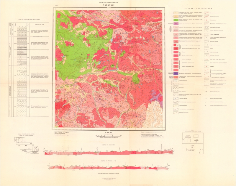
Проявления позднекаменноугольного и раннепермского этапов формирования покровно-складчатых структур в южном обрамлении Сибирской платформы (Восточные Саяны, Южная Сибирь)
The geological structure of the Tunka Goltsy (the Tunka Range) of the East Sayany is characterized by a complex nappe-fold structure, composed mainly of Paleozoic terrigenous and carbonate rocks and their metamorphosed analogues [1–3]. It is generally recognized that the nappe-fold structure of the East Sa-yany, including its southeastern segment, regarded as the Tunka terrain [3] or Ilchirskaya zone [4], formed in the Ordovician as a result of collision between the Tuva–Mongolian microcontinent and the Siberian continent. As referred to in [5], the Ordovician–Mid-dle Paleozoic deformations over the entire vast territory of Central Asia, from the Olkhon zone of the Pribaikalie to the North Kazakhstan, were manifested as a result of the closing of the oceanic basin and the subsequent collision between the Kazakhstan– Baikalian complex continent (including the Tuva– Mongolian microcontinent) and the Siberian continent. In the Ordovician the Olkhon nappe-overthrust zone was formed along the southeastern framework of the Siberian Craton. In addition, the metamorphism was manifested over the entire vast territory of the East Sayany that could probably be connected with nappe formation. In the Late Ordovician–Silurian, the oblique slip-thrust structures, magmatism, and meta-morphism were manifested in the Sangilen highlands and Tuva. Later, the deformations continued. In the Late Devonian–Early Carboniferous, the dextral strike-slip fault Charysh–Terektinskaya zone was formed; in the Late Carboniferous, the Kurayskaya and Kuznetsko–Teletsko–Bashkaus sinistral strike-slip shear zones were formed.
Геологическое строение Тункинских гольцов Восточного Саяна характеризуется сложной покровно-складчатой структурой, преимущественно палеозойскими терригенными и карбонатными породами и их метаморфизованными аналогами [1–3]. Общепризнано, что складчато-покровная структура Восточного Саяна, в том числе его юго-восточной части, выделяемой в Тункинский тер-рейн [3] или Ильчирскую зону [4], сформировалась в ордовике в результате коллизии Тувино-Монголь-ского микроконтинента с Сибирским континентом. В работе [5] отмечается, что ордовикско-сред-непалеозойские деформации на огромной территории Центральной Азии от Ольхонской зоны Прибайкалья до Северного Казахстана проявились в результате закрытия океанического бассейна и последующей коллизии Казахстанско-Байкальского составного континента (включающего Тувино-Монгольский микроконтинент) с Сибирским континентом. В ордовике вдоль юго-восточного обрамления Сибирского кратона была сформирована Ольхонская покровно-чешуйчатая зона, а также проявился метаморфизм на большой территории Восточного Саяна, связанный, вероятно, с покровообразованием. В позднем ордовике– силуре сдвигово-надвиговые структуры, магматизм и метаморфизм проявились на Сангилене и в Туве. Деформации продолжались и позже – в позднеде-вонско-раннекарбоновое время на Горном Алтае была сформирована правосторонняя Чарышско-Теректинская зона разломов, в позднем карбоне Ку-райский и Кузнецко-Телецко-Башкаусский левосторонние сдвиги.