Добрый день, Коллеги. Важное сообщение, просьба принять участие. Музей Ферсмана ищет помощь для реставрационных работ в помещении. Подробности по ссылке
В последние годы в советской исторической и историко-географической науке надо отметить большой интерес к прошлому островов Тихого океана и северозападной Америки. Новое издание работы акад. Л.С. Берга «Открытие Камчатки и экспедиции Беринга» (1946J, его же «Очерки по истории русских географических открытий» (1946),
Учебно-методическое пособие составлено для магистров направления «Геология» для выполнения лабораторной и самостоятельной работы по разделу курса «Нефтегазоносные бассейны Мира» - регионы Северной, Центральной и Южной америк. Пособие может служить основой для выполнения тематических рефератов и презентаций, предусмотренных программой курса
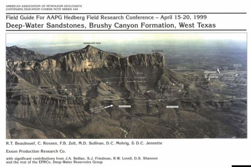
Exceptional oblique-dip exposures of submarine fan complexes of the Brushy Canyon Fm. allow reconstruction of channel geometries and reservoir architecture from the slope to the basin floor. The Brushy Canyon conslsts of 1,500 ft. of basinally restricted sandstones and siltstones that onlap older carbonate slope deposits at the NW margin of the Delaware Basin.
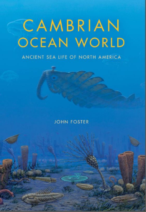
The geologic story of North America is a fascinating one. It’s also more than 4 billion years long—much more than we could ever hope to cover here. However, if you’re curious about the world around you, enjoy the big-picture perspective, and are interested in some of the processes that are constantly reshaping our planet, here’s a crash course on the basics. It’s a good place to start on your aerial tour of the continent’s most breathtaking landforms.
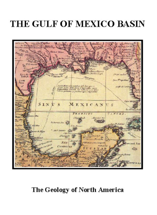
Stratigraphy lies at the heart of geology and we have set for ourselves the rather daunting task of describing, albeit in summary fonn, the regional stratigraphy of North America. Our purpose is to develop a stratigraphic framework against which to view the history of the continent and with which to test ideas about Earth mechanics. No such treatment can ever be complete, as ours is not, but we hope the attempt will provide the reader with at least a working summary of North American stratigraphy and geological history.
The Geology of North America series has been prepared to mark the Centennial of The Geological Society of America. It represents the cooperative efforts of more than 1,000 individuals from academia, state and federal agencies of many countries, and industry to prepare syntheses that are as current and authoritative as possible about the geology of the North American continent and adjacent oceanic regions.
Проведен анализ данных, связанных с образованием крупнейших месторождений миоцен-четвертичного возраста в пяти самых продуктивных в мире бор-литиеносных провинциях. Они располагаются в регионах около конвергентных границ литосферных плит, геодинамически активных в течение последних 25 млн лет: на северо-западе Анатолийского п-ова, в центральных областях активных западных окраин Южной и Северной Америки, в Южном и Северном Тибете. Все без исключения крупные и суперкрупные месторождения бора и лития в этих провинциях представляют собой лимнические отложения и/или рассолы озер. Сформулирована принципиальная 3-этапная схема их формирования
Humans need salt to live. A person eating a diet rich in red meat typically gets all the salt he needs from food, but a person eating only vegetables and grains does not. When people began settling into agricultural communities, they needed salt for themselves and their livestock. Furthermore, vast quantities of salt were needed to preserve food, especially fish.
«Палеогеографический атлас Северной Америки» виднейшего американского геолога Ч. Шухерта является сводкой многолетних палеогеографических исследований автора. Эта классическая работа издана после смерти Шухерта его учеником и последователем известным американским геологом К. Данбаром. Им же написано введение, дающее нам возможность оценить колоссальный труд всей жизни ученого н сделать вывод о ценности 84 карт, составляющих атлас. Каждая карта сопровождается списком районов Северной Америки и соответствующих в пределах каждой карты стратиграфических единиц. Атлас Ч. Шухерта представляет большой интерес для советских специалистов-геологов и будет чрезвычайно полезен для студентов, изучающих историческую геологию.
Imagine a tropical morning on the ocean. The air is comfortably warm and moist, but it is not muggy or hot; scattered clouds are slightly pink with the last colors of dawn as the sun glares orange, low on the eastern horizon. The ocean on which you are fl oating is deep blue, and the surface waves are only a few feet high.