Добрый день, Коллеги. Важное сообщение, просьба принять участие. Музей Ферсмана ищет помощь для реставрационных работ в помещении. Подробности по ссылке
Case history and problem 1: the Tonkin Springs gold mining district, Nevada, U.S.A.
Выпуск 1
Geochemical techniques played a major role in exploration of the Tonkin Springs district and ultimately led to discovery of economically significant bodies of gold mineralization. Using some of the information obtained during the exploration program, it is possible to review the geochemical environment, secondary dispersion processes and survey techniques used successfully in this part of Nevada.
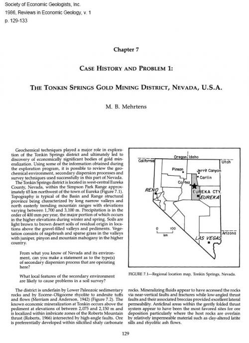
The Tonkin Springs district is located in west-central Eureka County, Nevada, within the Simpson Park Range approximately 65 km northwest of the town of Eureka (Figure 7.1). Topography is typical of the Basin and Range structural province being characterized by long narrow valleys and north easterly trending mountain ranges with elevations varying between 1,700 and 3,100 m. Precipitation is in the order of 400 mm per year, the major portion of which occurs in the higher elevations during winter and spring. Soils are light brown to brown desert soils of residual origin in locations above the gravel-filled valleys and pediments. Vegetation consists of sagebrush and sparse grass in the valleys with juniper, pinyon and mountain mahogany in the higher country.
From what you know of Nevada and its environment, can you make a statement as to the type(s) of secondary dispersion process that are operating here?
What local features of the secondary environment are likely to cause problems in a soil survey?
The district is underlain by Lower Paleozoic sedimentary rocks and by Eocene-Oligocene rhyolite to andesite tuffs and flows (Merriam and Anderson, 1942) (Figure 7.2). The known economic mineralization at Tonkin occurs above the pediment at elevations of between 2,075 and 2,150 m and is localized within imbricate zones of the Roberts Mountain thrust (Roberts, 1966) intersected by high-angle faults. Ore is preferentially developed within silicified shaly carbonate rocks. Mineralizing fluids appear to have accessed the rocks via near-vertical faults and fractures while low-angled thrust faults and their associated breccias provided excellent lateral permeability. Anticlinal areas within the gently folded thrust system appear to have been the most favored sites for ore deposition particularly where the host rocks are overlain by relatively impermeable material such as clay-altered latite sills and rhyolitic ash flows.
У нас есть: 30339 книг, 6020 карт, 43 инбокса. Итого: 36402 материала
Последнее обновление:
24.04.2025

![]()